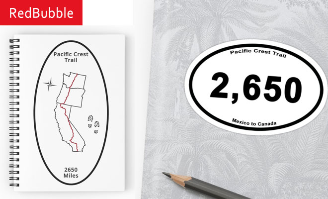
Pacific Crest Trail
- Miles: 2650
- State(s): CA,OR,WA
- Region(s): Pacific
Pacific Crest Trail
PCT
California
Oregon
Washington
Mexico to Canada
National Scenic Trail
Description
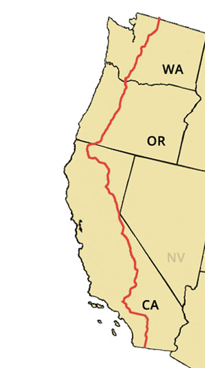
The Pacific Crest Trail (PCT) travels 2650 miles through California, Oregon, and Washington. It starts at the Mexican border just south of Campo, CA and ends at the Canadian border near Manning Park in British Columbia. The PCT passes through 25 national forests and 6 national parks, including Kings Canyon, Sequoia, Yosemite, Crater Lake, Mount Rainier, and North Cascades National Parks. The trail is designated a National Scenic Trail.
Guidebooks and Map
Yogi Pacific Crest Trail Handbook
Wilderness Press Databook
Wilderness Press PCT Guidebooks
Halfmile PCT Maps
US National Forest Service PCT Maps
Blackwoods Press PCT Pocket Atlas
Postholer PCT Maps
Trail Organizations
Pacific Crest Trail Association
Other Resources
Craigs PCT Planner - A web-based utility to plan a PCT hike
Mountain Education by Ned Tibbits - A wilderness class to learn the skills needed for backpacking in the mountains, especially in snow.